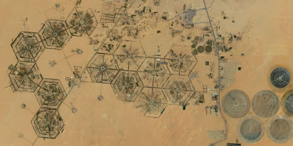
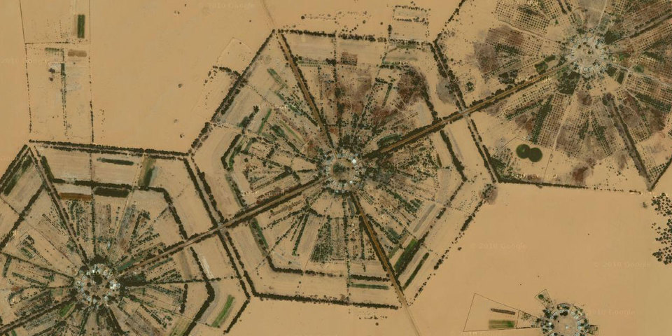
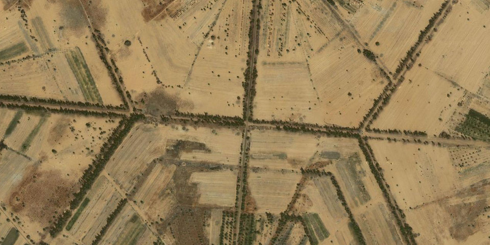
Selected satellite images of SECRET LIBYAN HEXAGONS, near the city of Kufra in southeastern Libya. Locus: 24.13 N, 23.25 E.
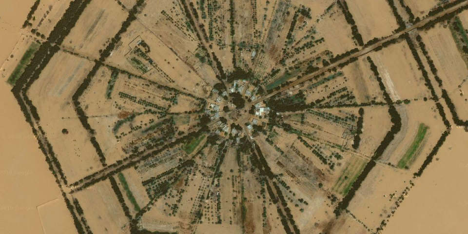
Each hexagon seems to consist of a central ring of houses attached to radiating wedges of irrigated land. The hexagons are approximately the same size as the central pivot irrigation circles that are common in the area, as seen in the top image. We are unsure if this implies any connection to central pivot irrigation, or if the hexagonal cells were simply adopted due to their geometrical superiority and efficiency, and perhaps sized to fit in with the existing circular grid.
Disturbingly, there actually seem to be sixteen discrete buildings in most of the central rings, which is not a very hexagonally-symmetric number at all. It is possible there are four "common" buildings in each ring or something, though their rather uniform arrangement in a hexadecagonal configuration would seem to argue against this.
Leaving aside broader ecological concerns about draining fossil aquifers to sustain human life in the middle of the fucking desert, does the fact that these hexagons were seemingly built by an undemocratic regime reflect poorly on hexagonal technology in general? Could fundamentally good hexagonal technology arise from arguably anti-hexagonal agencies? Presumably, yes. The hexagon is of course only a tool, and can be put to both good and evil uses.
More information on these hexagons will be provided as it becomes available.
 Libyan hexagons


